Borders
The line moved more than once. Dated stops, not a sermon. Keep the stages separate — the same habit as the timeline.
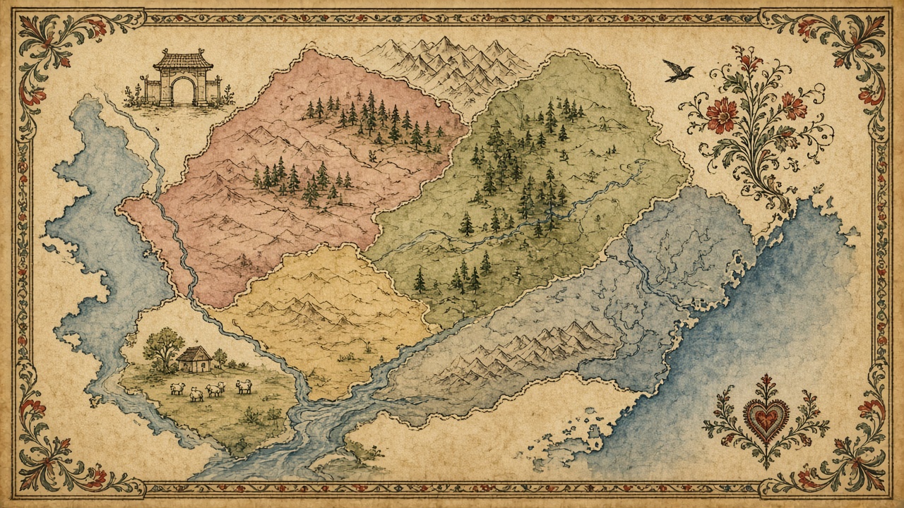
A schematic teaching map, not a surveyor’s map. Shapes are simplified so the eras can be seen in one sitting.
- In the Romanian state of this era
- Under another crown
- Lost in 1940
The three lands
14th century – 1858
For most of the last several hundred years there was no single Romanian state. Wallachia lay south of the mountains, between the Carpathians and the Danube. Moldavia lay to the east, toward the Prut. Transylvania sat inside the arc, under the Hungarian crown and later in the Habsburg contest — Romanian speakers many on the ground, late to political voice. Tribute, church endowment, and switching protectors were ordinary tools. A painted monastery or a wooden gate belongs to that arrangement, not to a national museum planned in advance. See three lands, not one court. Michael the Brave held all three briefly in 1600; the lands went their ways again. That short fact sits on men.
The edges of Moldavia itself moved before any modern union. Bukovina passed to the Habsburgs in 1775. Bessarabia, east of the Prut, passed to Russia in 1812. Hold those earlier losses in mind when 1918 looks like a sudden widening. It was also a gathering of pieces that had already been cut away.
United Principalities
1859
Wallachia and Moldavia elected the same prince, Alexandru Ioan Cuza. That double election is the start of the modern state — one administration assembled from two. It was clever, and it was fragile. Land, schools, and a civil code followed; boyar patience did not. Cuza was forced out in 1866. A foreign prince, Carol of Hohenzollern, was brought in to make the new state look permanent to the courts of Europe. Transylvania was not in the bargain. The union lesson keeps 1859 and 1918 apart on purpose.
Independence and Dobruja
1877–1878, then 1913
War against the Ottomans and the treaties that followed made Romania a recognized independent state. Carol became king in 1881. Northern Dobruja, and with it Constanța, came in that settlement — a sea window the principalities had not held. Southern Dobruja, the Cadrilater, was added after the Second Balkan War in 1913, taken from Bulgaria. A short campaign on the southern edge, before the much larger war that would remake the whole map.
Greater Romania
1918
After the First World War, as the old empires broke, assemblies in Bessarabia, Bukovina, and Transylvania voted union with the kingdom. The diplomats spent the next years arguing the edges. The enlarged map is what people later called Greater Romania — the widest the line would reach. It included many who were not Romanian speakers: Hungarians in Transylvania, Germans, Jews, Ukrainians, and others. A union voted in a crisis is not the same thing as a settlement everyone accepted. Queen Marie’s wartime and diplomatic work sits in that story; the century that followed is on a century, read slowly.
Wartime losses
1940–1944
In 1940 the enlarged kingdom was cut from three sides. Bessarabia and northern Bukovina went to the Soviet Union. Northern Transylvania went to Hungary, by the Second Vienna Award — a temporary award, as it turned out, and a bitter one while it lasted. Southern Dobruja went back to Bulgaria, by the Treaty of Craiova. Those losses broke the Carol regime. Ion Antonescu took power and allied with Germany. The state also carried out and enabled the murder and deportation of Jews and Roma, especially in Bessarabia, Bukovina, and Transnistria. Keep the alliance, the crimes, and the late switch in the same short frame — none of them cancel the others. In August 1944 the country turned against Germany. Northern Transylvania was retaken as the front moved; the other 1940 cuts were not undone.
The line that held
1944–1948, then the present
The peace and the Paris treaties left a smaller country than 1918. Northern Transylvania remained with Romania. Bessarabia and northern Bukovina stayed with the Soviet Union — later the Republic of Moldova and part of Ukraine. Southern Dobruja stayed with Bulgaria. By the end of 1947 the king was gone and a communist republic stood in the kingdom’s place. The outer line did not jump again in the way the 1940 line had. What changed inside was the state, the land, and who could leave.
The present border is that postwar outline: the Carpathian bowl, the southern plain, Moldavia west of the Prut, and northern Dobruja to the sea. NATO in 2004 and the EU in 2007 changed the frame, not the surveyor’s marks. Ordinary arguments still run through language, region, and memory. The ridges outlast every map on this page. Dated stops end; the ground does not.